Last updated 22nd July 2026
Poulton Deanery covers part of the Fylde and Wyre local authority areas.
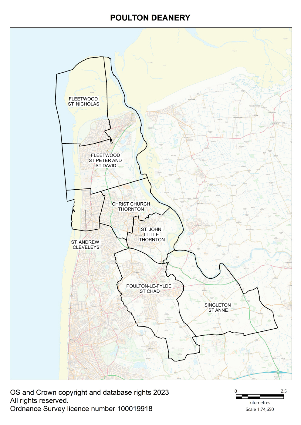
Map of Poulton Deanery showing all of the parish boundaries on an Ordnance Survey background.
Key contacts
Deanery Synod Dates
Parish information
| Parish name | Parish map |
Parish Dashboard |
Census 2021 |
Parish website/ |
|---|---|---|---|---|
| Cleveleys, St Andrew | Map | Census | ||
| Fleetwood, St Nicholas | Map | Census | ||
| Fleetwood, St Peter | Census | |||
| Little Thornton, St John the Evangelist | Map | Census | ||
| Poulton-le-Fylde, St Chad with St Hilda Carleton | Map | Census | ||
| Singleton, St Anne | Map | Census | ||
|
Thornton-le-Fylde, Christ Church |
Map | Census |