Last updated 29th July 2026
Blackpool Deanery covers the Blackpool Borough Council local authority areas.
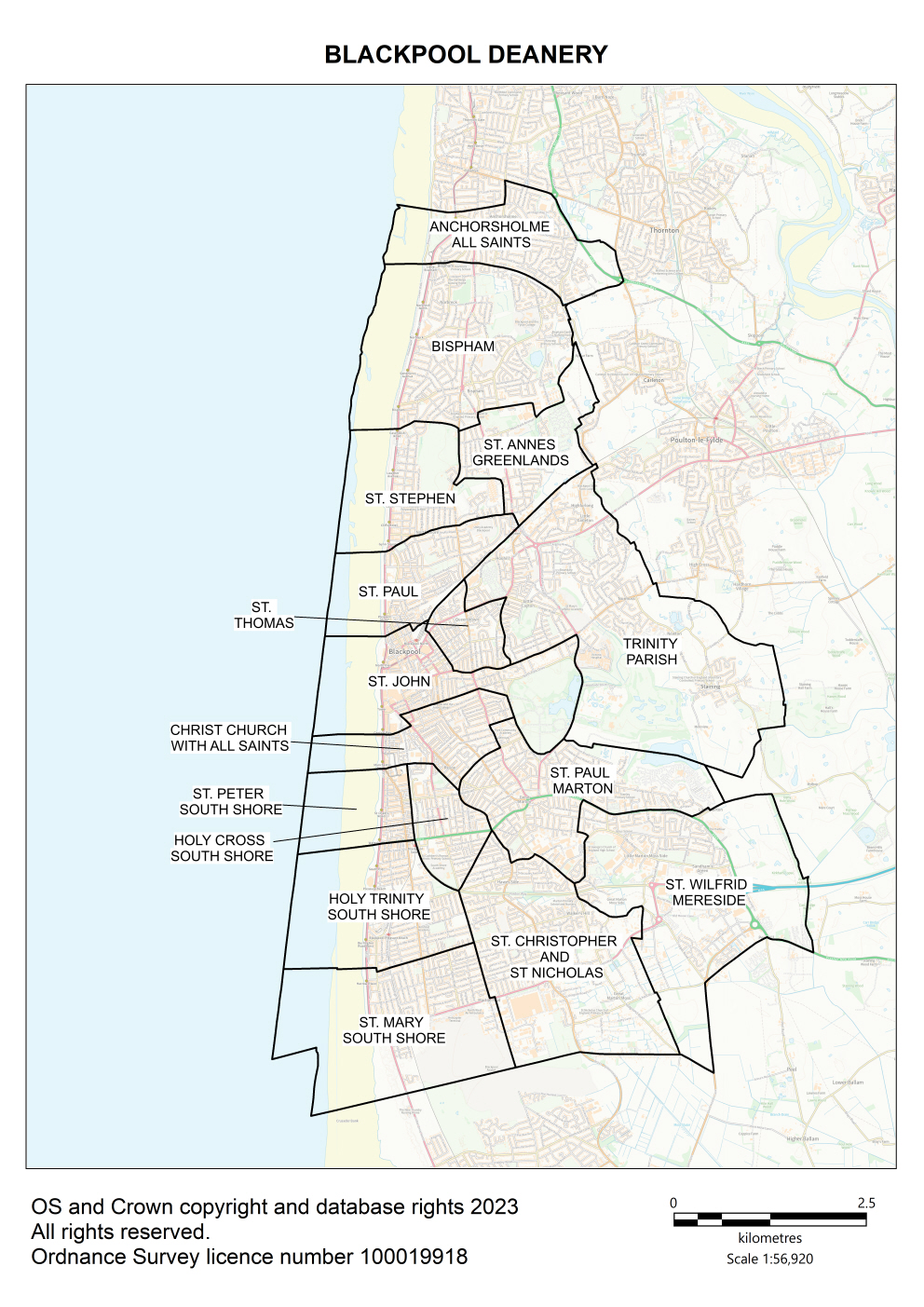
Map of Blackpool Deanery showing all of the parish boundaries on an Ordnance Survey background.
Key contacts
Deanery Synod Dates
Parish information
| Parish name | Parish map |
Parish dashboard |
Census 2021 |
Parish website/ |
|---|---|---|---|---|
| Anchorsholme, All Saints | Map | Census | ||
| Bispham, All Hallows | Map | Census | ||
| Blackpool, Christ Church with All Saints (Beacon Church) | Map | Census | ||
| Blackpool, Holy Cross | Map | Census | ||
| Blackpool, Holy Trinity South Shore | Map | Census | ||
| Blackpool, St Christopher and St Nicholas | Map | Census | ||
| Blackpool, St John (Blackpool Church) | Map | Census | ||
| Blackpool, St Mary Squires Gate | Map | Census | ||
| Blackpool, St Paul North Shore | Map | Census | ||
| Blackpool, St Peter South Shore | Map | Census | ||
| Blackpool, St Stephen on the Cliffs | Map | Census | ||
|
Blackpool, St Thomas |
Map | Census | ||
| The Trinity Benefice | Map | Census | ||
| Marton, St Paul | Map | Census | ||
| Mereside Freedom Church (covers Mereside estate; map of St Wilfrid parish attached for information) | Map | Census |