Last updated 4th March 2026
Garstang Deanery covers part of the Preston City and Wyre Borough Council local authority areas.
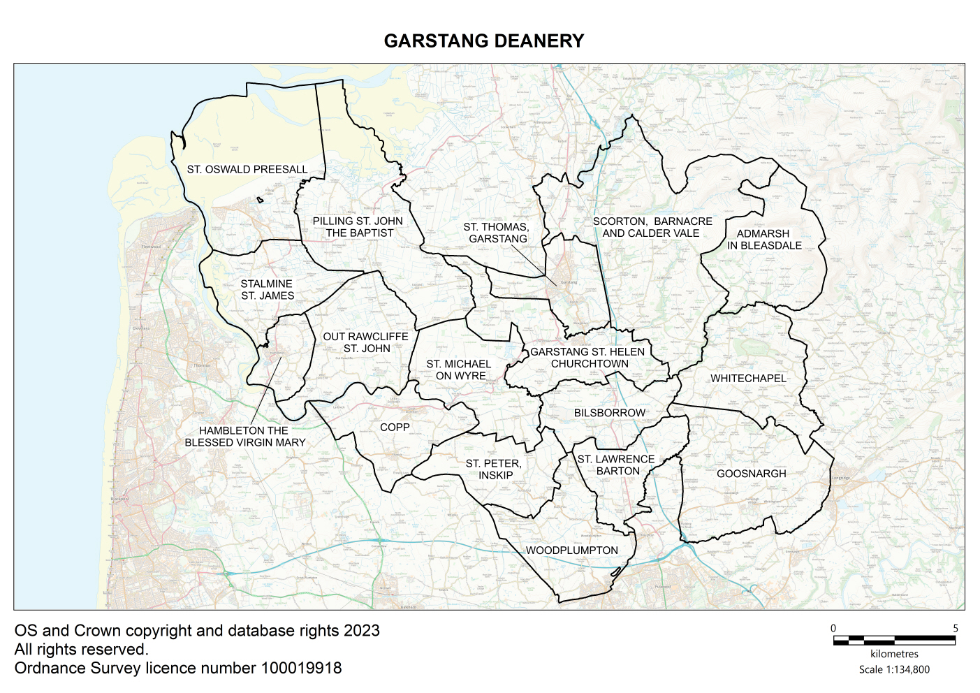
Map of Garstang Deanery showing all of the parish boundaries on an Ordnance Survey background.
Key contacts
Deanery Synod Dates
Parish information
| Parish name | Parish map |
Parish Dashboard |
Census 2021 |
Parish website/ |
|---|---|---|---|---|
| Barton, St Lawrence | Map | Census | ||
| Bilsborrow, St Hilda | Map | Census | ||
| Bleasdale, St Eadmer | Map | Census | ||
| Copp, St Anne | Map | Census | ||
| Garstang, St Helen | Map | Census | ||
| Garstang, St Thomas | Map | Census | ||
| Goosnargh, St Mary | Map | Census | ||
| Hambleton, The Blessed Virgin Mary | Map | Census | ||
| Inskip, St Peter | Map | Census | Website | |
| Out Rawcliffe, St John | Map | Census | ||
| Pilling, St John | Map | Census | ||
| Preesall, St Oswald | Map | Census | ||
| Scorton, Barnacre and Calder Vale | Map | Census | ||
| Stalmine, St James | Map | Census | ||
| St Michaels on Wyre | Map |
|
Census | |
| Whitechapel, St James | Map | Census | ||
| Woodplumpton, St Anne | Map | Census |